
How are homes in wildland areas driving up the fire danger?

(Photo by Justin Sullivan/Getty Images)
Wildfires occur naturally and always have.
But the pace of wildfires is rising, with fire season increasingly wrecking the air quality in California, Washington, and Oregon.
The question reporters can ask now is: Are we creating this problem by building more homes further and further into formerly wild lands?
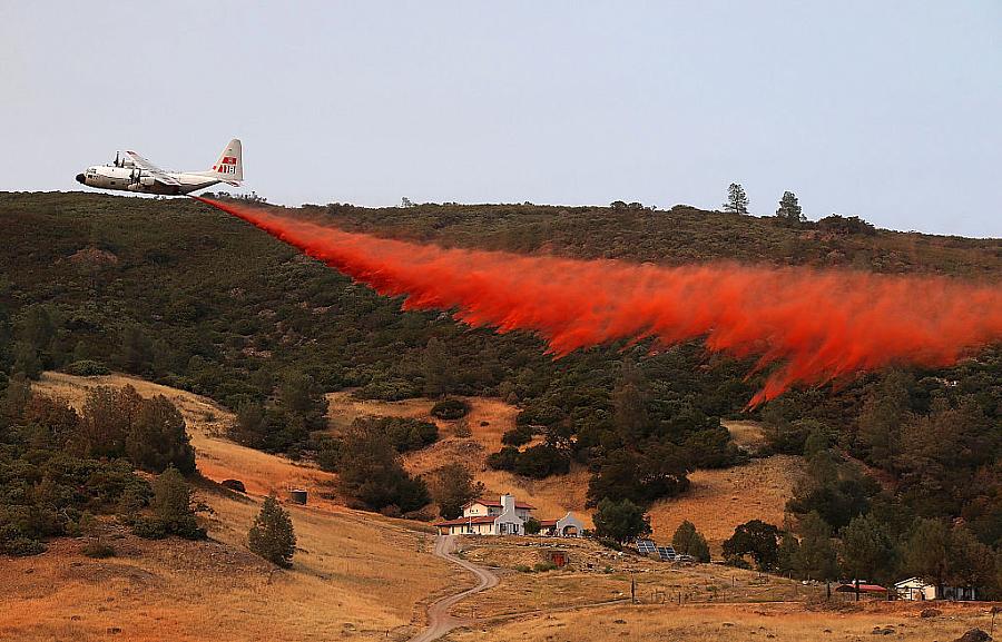
When fires force people out of their homes, destroy property, and leave death and injury in their wake, it can seem insensitive to blame the victims. But you’re not blaming the people who bought these properties. It’s more complex than that, of course. The lands themselves have to be zoned as residential. Governments have to approve this kind of land use, and the landowners or developers have to make the case that they can develop the land safely and with measures in place — water tanks, defensible spaces — to mitigate any environmental damage and minimize fire risk.
There is a vast scientific literature detailing how the increasing number of people moving to formerly wildland areas, known as the wildland-urban interface, is leading to more wildfires and more devastating blazes. A good blueprint for you to follow is a study that came out two years ago in the Proceedings of the National Academy of Sciences.
The researchers from the University of Wisconsin-Madison and other research centers counted houses within areas that had been burned by wildfires in different decades to examine whether the growth in the wildland-urban interface tended to “exacerbate wildfire problems.” They found that in 1990, there were 177,000 homes in areas where wildfires had occurred. Twenty years later, there were 286,000 homes in that same type of zone. That’s 109,000 more houses built between 1990 and 2010 or a growth rate of 62%, which the researchers note was “far outpacing the average US housing growth rate of 29%.” Here’s how the researchers explained the impact:
Of these new houses, those built before the wildfires occurred complicated firefighting because more houses had to be protected and more residents had to be evacuated. Similarly, houses built after fires occurred are of concern because new development in areas that burned recently, and thus are known to have a high fire risk, suggests that there is little adaptation to fire risk.
The study looked at data sets that I’ll describe below. The most recent data in those data sets stopped in 2015. You can update that analysis and you can project forward by looking at homes that are being built now. Here are three key things that the researchers did.
First, they looked at housing data from the U.S. Census. If you have some data skills, check out these datasets and start to explore. If you don’t, talk to a colleague who might be able to help you. You don’t have to do an analysis for the whole country, like the researchers did. Instead, you can zero in on the areas that affect your community. You might just use the Census as a jumping off point, and then talk to people inside your county planning departments to get access to their own datasets where they keep track of properties and where they are located.
Second, they examined the wildland-urban interface by using data from the U.S. Geological Survey. This step will be even more complex than the housing counts, and so I would recommend that you talk with the authors of the PNAS study and other experts in using these kinds of data sets. What you are looking for are two main types of interfaces: “intermix WUI,” which is where houses and wildland vegetation directly intermingle, and “interface WUI,” where you have homes right up against wildland vegetation. The researchers found massive growth in both areas:
In absolute numbers, there were 4.7 million more houses in the intermix WUI and 8.0 million more in the interface WUI in 2010 than in 1990.
Lastly, the researchers counted the homes that were within fire perimeters. They did this by starting with the fire perimeters themselves, drawing on data from the Monitoring Trends in Burn Severity dataset. This includes all fires over a certain size — greater than 1,000 acres burned in Western states or greater than 500 acres in Eastern states.
Once you develop your understanding of how many homes are being built in the wildland-urban interface and how many have proven to be vulnerable to fires, you can start to ask questions about how and when the decisions were made to open up these areas to housing development, and what might be done differently moving forward. What are we to do when areas were zoned for homes decades or even centuries before our current understanding of wildfire risk?
The data analysis may sound complex, but these are important themes for you to stay on top of as once-in-a-century fires become annual events. You don’t have to wait for smoke to choke the skies again to tell your audiences about one of the biggest causes of our modern wildfire crisis. Climate change and forest management practices are crucial parts of the story, but not the entire story.