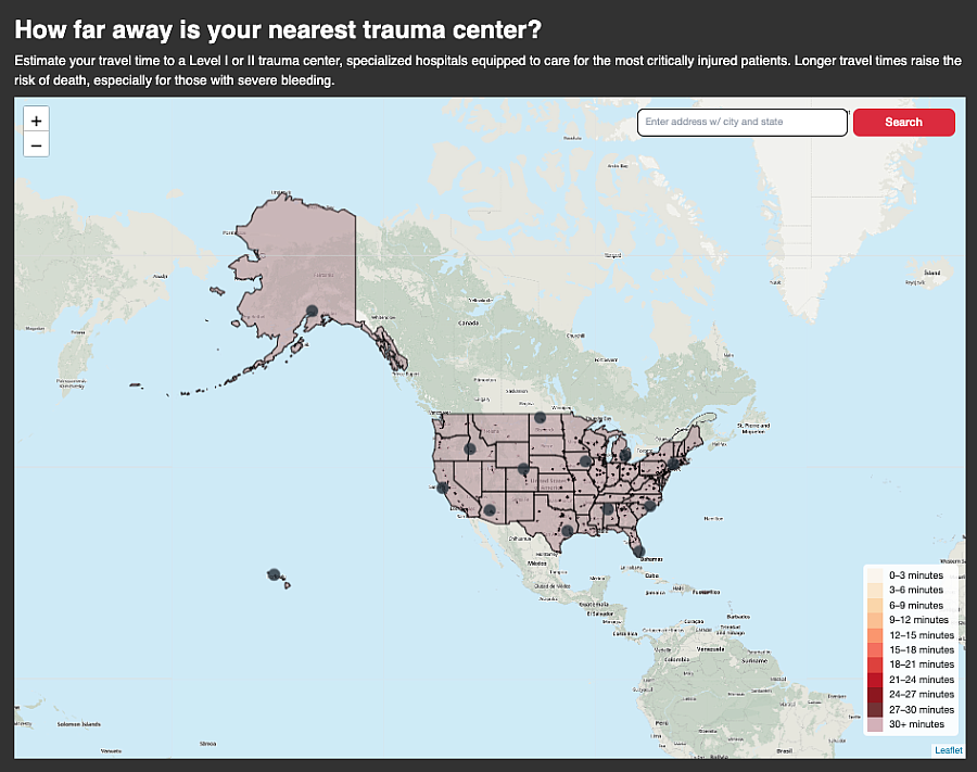
Map: Find your nearest trauma center
The story was originally published by The Dallas Morning News with support from our 2022 National Fellowship.

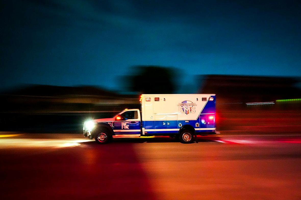
A Parker County Hospital District Life Care EMS ambulance headed for the Medical City Weatherford emergency room in 2022. Weatherford does not have a trauma center to treat badly injured patients who need medical care as soon as possible.
Smiley N. Pool / Staff Photographer
For more than two years, The Dallas Morning News and the San Antonio Express-News investigated why tens of thousands of Americans bleed to death from injuries they might have survived. The investigation found that every minute impacts the outcomes of these patients, with most deaths occurring around a half hour after a major injury. As a result, how long it takes for seriously injured patients to be transported to the nearest major hospital can be a matter of life or death.
To explore this issue, we mapped the locations of all U.S. Level I and II trauma centers, which provide the highest level of care to injured patients. The map illustrates widespread geographic disparities in trauma care access.
The visualization also shows that the country is pocketed with enormous trauma care deserts, where patients can be hundreds of miles from help. In certain parts of the country, like the densely populated East Coast or the Dallas-Fort Worth area, rapid access to high-level trauma centers is more readily available. In rural parts of the country, including Colorado and other Western states, access is far more limited. An estimated one in four Americans lives farther than a 30-minute drive from these hospitals.
The map allows readers to test addresses, including their own, to see how far they are from a major trauma center should they become injured. It accounts for geographic features that impact accessibility, such as rough terrain, lack of paved roads or bodies of water.
Read the entire “Bleeding Out” series at dallasnews.com/bleedingout.